Thank you for supporting this site ❤️
Make a donation
Make a donation
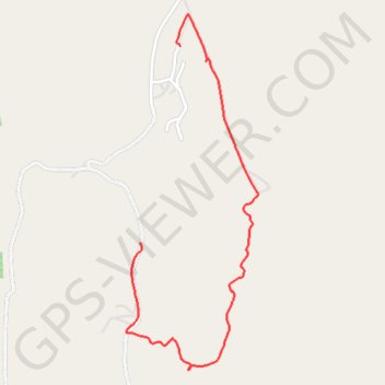
Likweti Bushveld Farm Estate
- Distance: 3.4 Km
- Elevation gain: 48 m
- Maximum elevation: 944 m
- Elevation loss: 130 m
- Minimum elevation: 814 m
- Moving time: 55 m 46 s
- Moving speed: 3.7 Km/h
- Maximum speed: 21.7 Km/h
- Total time: 1 h 7 m
- Global speed: 3.1 Km/h
Interactive trail map
Thank you for supporting this site ❤️
Make a donation
Make a donation
Trail profile
- Distance: 3.4 Km
- Elevation gain: 48 m
- Maximum elevation: 944 m
- Elevation loss: 130 m
- Minimum elevation: 814 m
- Moving time: 55 m 46 s
- Moving speed: 3.7 Km/h
- Maximum speed: 21.7 Km/h
- Total time: 1 h 7 m
- Global speed: 3.1 Km/h
Thank you for supporting this site ❤️
Make a donation
Make a donation
About this trail
Name: Likweti Bushveld Farm Estate trail, distance, elevation, map, profile, GPS track
Coordinates: -25.41828 31.04327 -25.40176 31.05004
Thank you for supporting this site ❤️
Make a donation
Make a donation