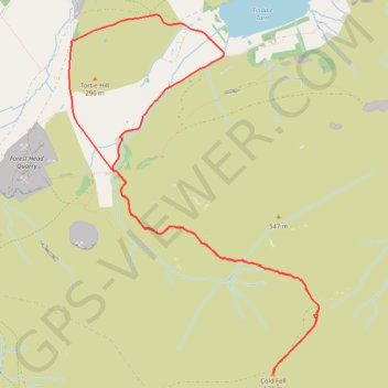
Track and Path from Stagshaw Path up to Cold Fell and back round Stagshaw
- Distance: 10.8 Km
- Elevation gain: 436 m
- Maximum elevation: 620 m
- Elevation loss: 435 m
- Minimum elevation: 216 m
- Moving time: 3 h 8 m
- Moving speed: 3.4 Km/h
- Maximum speed: 18.1 Km/h
- Total time: 3 h 34 m
- Global speed: 3.0 Km/h
Interactive trail map
Trail profile
- Distance: 10.8 Km
- Elevation gain: 436 m
- Maximum elevation: 620 m
- Elevation loss: 435 m
- Minimum elevation: 216 m
- Moving time: 3 h 8 m
- Moving speed: 3.4 Km/h
- Maximum speed: 18.1 Km/h
- Total time: 3 h 34 m
- Global speed: 3.0 Km/h
About this trail
Name: Track and Path from Stagshaw Path up to Cold Fell and back round Stagshaw trail, distance, elevation, map, profile, GPS track
Coordinates: 54.89386 -2.64362 54.92151 -2.61011
Other hiking, mountain biking, running and outdoor activity trails
Click on a trail to view its statistics, map and profile.
Carlisle Running
United Kingdom > England > Cumberland > Carlisle
Rat race the wall 2024
Distance: 112.3 Km • Elevation gain: 1,342 m • Maximum elevation: 332 m