
Dent trails
Click on a trail to view its statistics, map and profile.
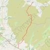
Hike from Dent to Masongill via Crag Hill, Great Coum, Green Hill and Gragareth
United Kingdom > England > Westmorland and Furness > Dent
Distance: 17.4 Km • Elevation gain: 602 m • Maximum elevation: 687 m